Top
TopProducts
Fully master the core technology of 3D laser, and have formed the layout of a full series of 3D laser "sea, land and air" product lines.

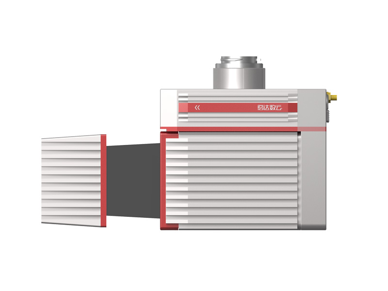
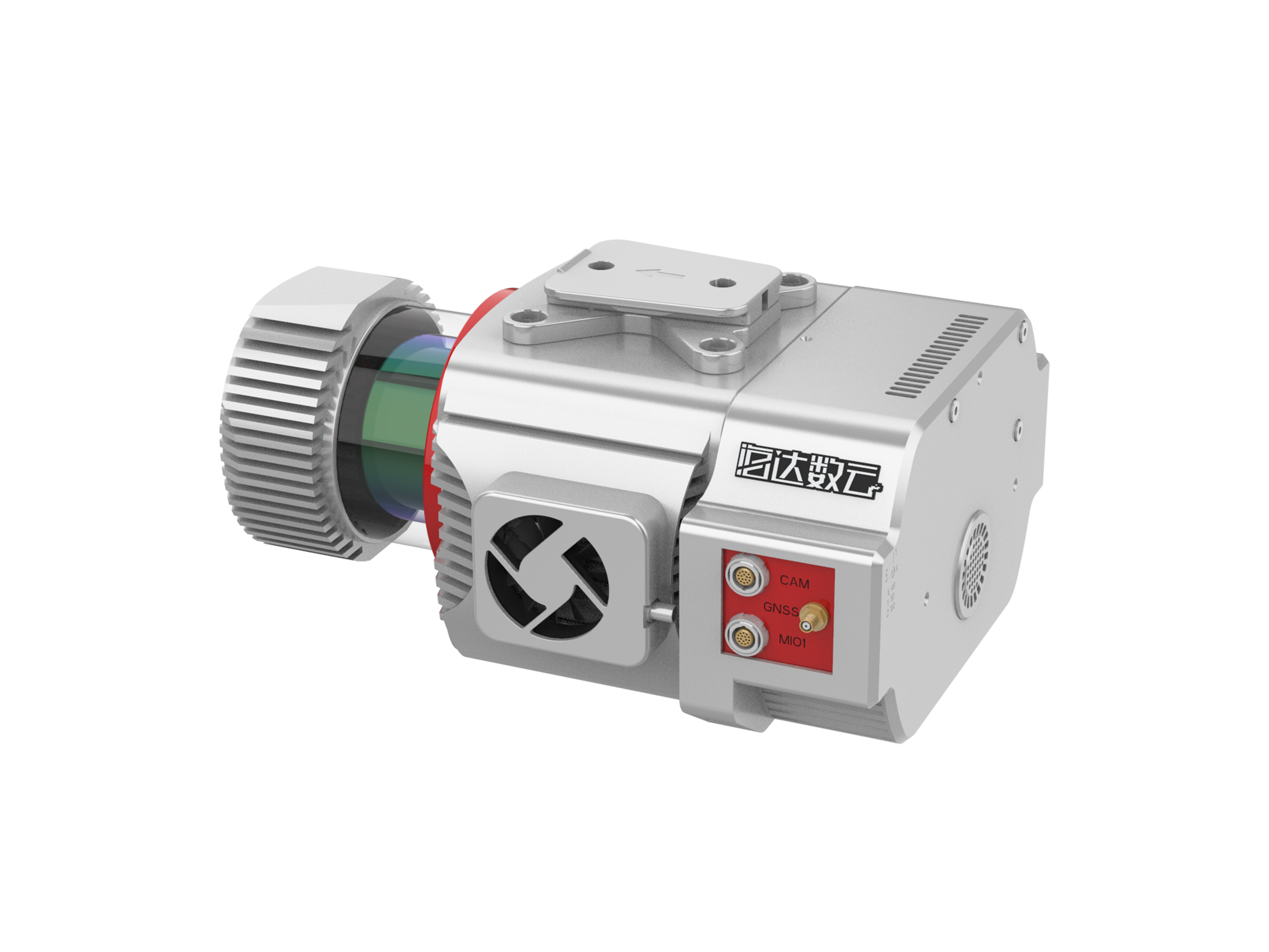
PM-1500 Airborne Laser Measurement System
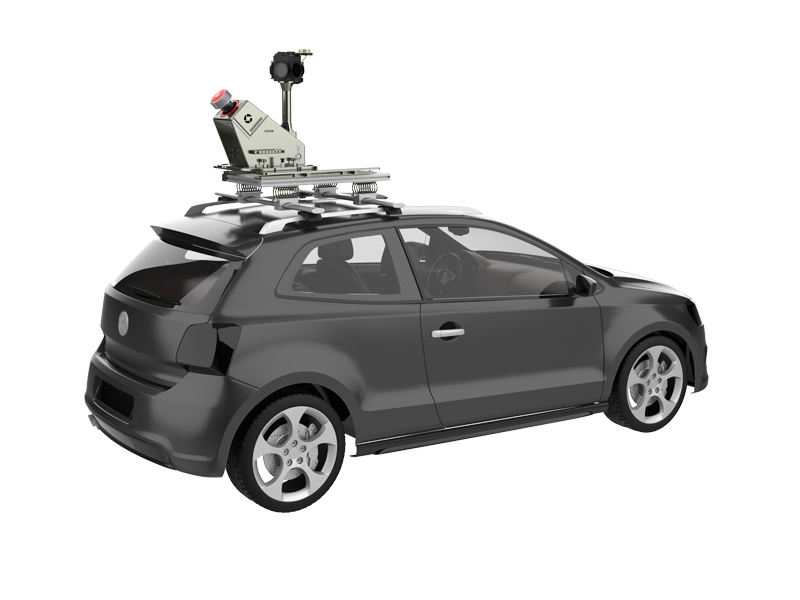
Airborne laser measurement system, based on a new generation of core technology framework, is a newly launched domestic airborne LiDAR with high point frequency, high line frequency, high precision and high integration.
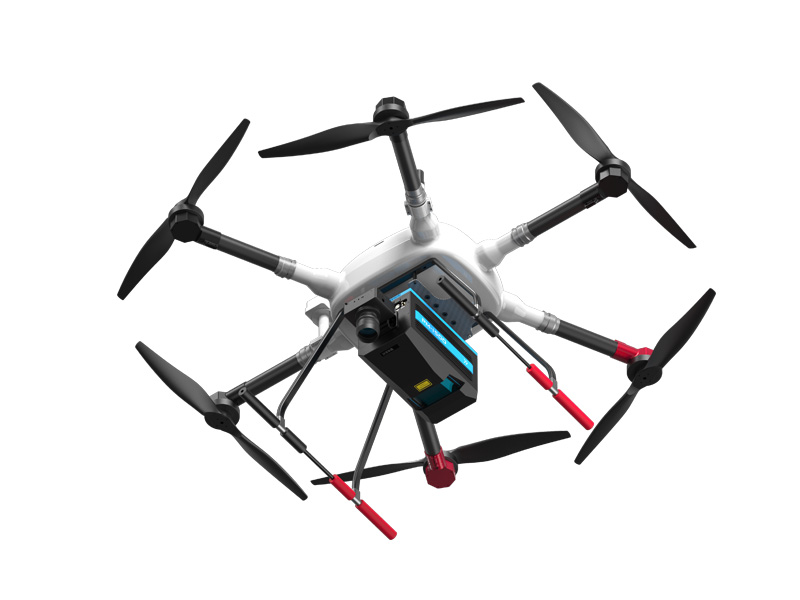
The core component of the system is the laser scanner with multi-echo technology function which is independently developed by Hi-Cloud. It integrates high-precision inertial navigation module and aerial survey camera. It is suitable for VTOL fixed wing UAV, rotor UAV and helicopter. Combined with professional post-processing software, an integrated solution will be offered. It is widely used in new basic surveying and mapping, real scene 3D China, topographic surveying and mapping, cadastral survey, traffic survey, power line inspection, forestry survey, disaster monitoring and other fields.
Characteristic

2,000,000 points/s high point frequency:
ultra high point density, capable for complex operations, suitable for electric power/forestry/modeling and other scenarios

1500m long measurement range:
easy processing of high drop terrain data, improve operation efficiency

Multi-echo technology:
4 times multi-echo, penetrate the surface vegetation gap, feedback the real terrain distribution

eal time point cloud:
real time feedback, control on-site operation, enable emergency decision making

Base station free:
support cloud service , no need to set up base station,high precision, all-weather

Whole process software:
one-stop data processing, realize more possibilities
Video
Parameter
| sub option | Index content | Performance parameter |
|
Laser Scanner |
Laser Wavelength |
Near Infrared (Class 1 ) |
|
PRR |
100-2000Khz | |
|
Maximal Measurement Range |
1000m@20%reflectivity |
|
|
1500m@60%reflectivity |
||
|
Range Accuracy |
5mm | |
|
Angular Resolution |
0.001° | |
|
Scanning Speed |
40-400scans/sec |
|
|
FoV |
75° | |
|
Camera |
Resolution |
42.4M pixels |
|
Focal length |
28mm | |
|
POS |
Positioning Accuracy |
Horizontal 0.01m |
|
Elevation0.02m |
||
|
Orientation Accuracy |
Heading 0.009° |
|
|
Pitch/roll 0.005° |
||
|
System performance |
Dimension |
293×165×164mm |
|
Absolute Accuracy |
Horizontal ≤5cm |
|
|
Vertical ≤5cm |
||
|
Weight |
4.4kg | |
|
Multi-echo Technology |
4 times |
|
|
Temperature/Humidity |
Operation:-40°C ~ 60°C Humidity 85% |
|
|
Storage: -45°C ~ 70°C Humidity 85% |
Next
None
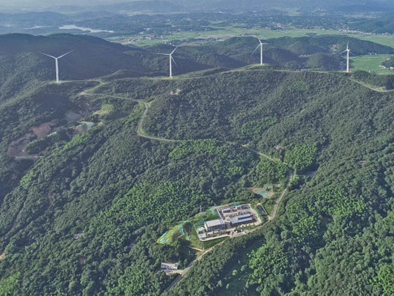
Application

Related product recommendation
iAqua
Shipborne 3D Laser Scanner