Top
TopProducts
Fully master the core technology of 3D laser, and have formed the layout of a full series of 3D laser "sea, land and air" product lines.

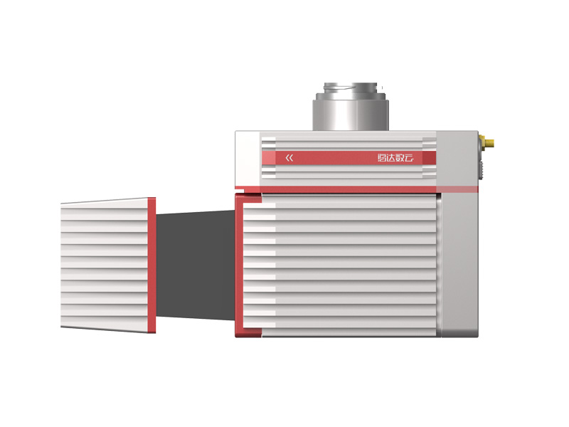
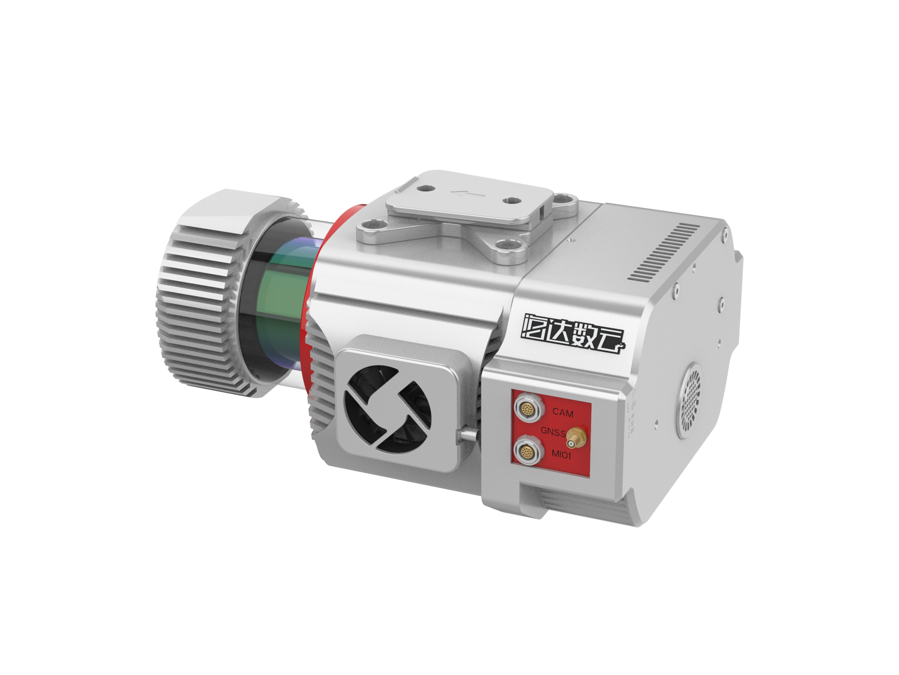
ARS-1000/1000L Airborne Laser Measurement System
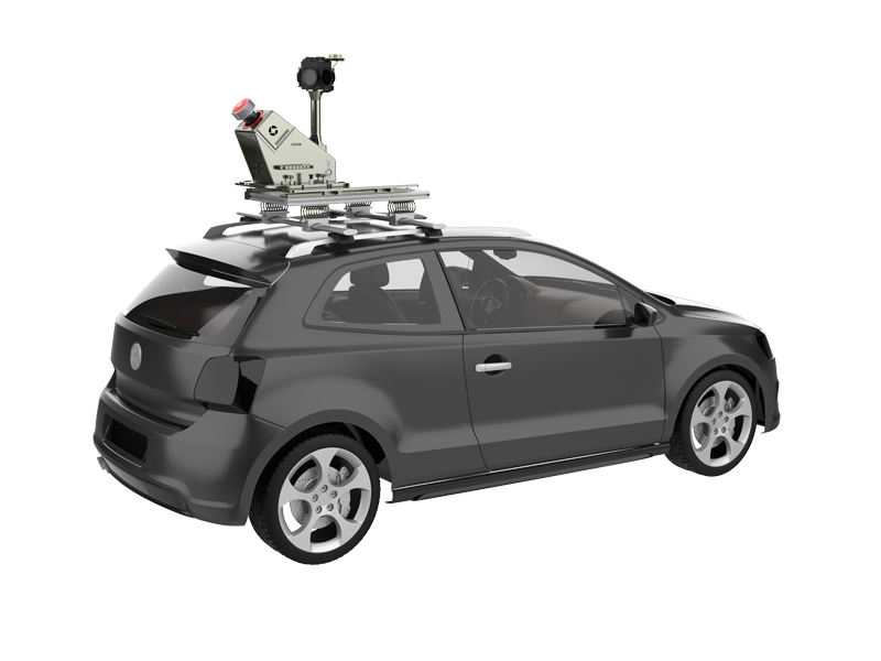
ARS-1000 airborne laser measurement system is a multi platform mobile measurement system developed by hi-cloud. It integrates sensors such as high-precision laser, high-definition camera, GPS, MEMS inertial navigation and storage control unit. Supported by time synchronization technology of independent intellectual property and integrated multi-sensor integration technology, it synchronously obtains 3D laser point cloud, POS data and image data.
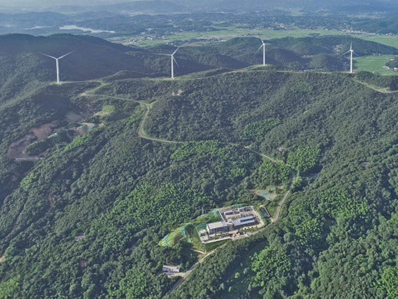
cloud processing technology of Hi-Cloud, support base station free operation mode, through the equipped data processing and application software, quickly generate DSM, DEM, DOM, DLG. The system has the advantages of light weight, convenient transportation and high efficiency of results processing. It is widely used in emergency mapping, topographic mapping, power line inspection, highway survey, coastal reef survey, excavation and filling calculation, archaeological survey and mapping and other fields.
Characteristic

Easy to install,
installation without any tools by single person

Easy to operate,
one click to start, remote control

5cm;High accuracy,
absolute accuracy up to 5cm

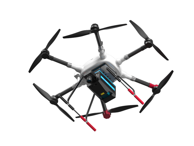
Multi platform,
applicable to airborne, vehicle mounted and backpack mode

Calibration free,
integrated design, relative position of multi sensors fixed

Base station free,
support cloud service , no need to set up base station
Parameter
|
Performance Indicator |
ARS-1000 | ARS-1000L | |
|
System Performance |
Absolute Accuracy |
±5cm | |
|
Weight |
4.5kg | ||
|
Operation Mode |
Airborne/Vehicle mounted/Backpack |
||
|
System Performance |
Operation Mode |
Class 1 |
|
|
Max. Measurement Range |
920m@60% | 1350m@60% | |
|
Max. Effective Scan Speed |
500,000points/s |
750,000points/s |
|
|
Data Update Rate |
200Hz | ||
|
FoV |
330° | ||
|
Angular Resolution |
0.001° | ||
|
Multi-echo Function |
Available |
||
|
INS |
Position Accuracy (post-processing) |
Horizontal |
0.01m |
|
Elevation |
0.02m | ||
|
Heading Accuracy |
0.010° | ||
|
Pitch/roll Accuracy |
0.005° | ||
Previous
None
Application

Related product recommendation
iAqua
Shipborne 3D Laser Scanner